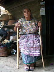
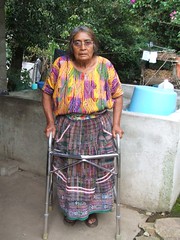
Sticks to a Walker - Thanks to a great ministry
Read more · Lee más : Sticks to a Walker - Thanks to a great ministry
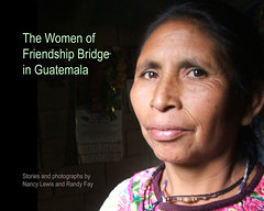
Read more · Lee más : We wrote a little book: The Women of Friendship Bridge in Guatemala
Read more · Lee más : Sidelined by Sickness: Whooping Cough!

Read more · Lee más : Where we are and what we're up to - Mid-October 2007
We are staying in Colorado until the beginning of 2008, at which time we will continue our trip to the bottom of South America. Why, you ask, well mostly to get healthy and get rid of the long lasting affects if whooping cough. One way to do this is to exercise daily which we believe we will be able to do here even in the winter. So we will take this opportunity and explore the western part of Colorado.
We have decided to relocate for two months to Palisade, Colorado where Randy's parents live. We will hang out with them and help out as we can. Randy will get some work doing website design and I will continue with my new profession. Painting. Not the wall type, but the type you do on paper which is called art. Palisade is such a beautiful place with wine vineyard and orchards through out the valley and surrounded by towering mesa called the Bookcliffs, the Colorado National Monument and the grandest of the grandest mesa called Grand Mesa. The sun in this part of the world is crisp with a golden rays brightly eliminating the landscape. Can you tell I am excited?
We are staying in migrant housing (normally used by Mexican workers here at Talbott's orchards) because they have all left for the season and there is lots of room for a couple of hobobikers. We have two roommates, Ryota who speaks Japanese and Artemio who speaks only Spanish. Our view out of the bunk house bedroom is looking at the sun rise of the towering Grand Mesa and the sunsets illuminating them and the orchards that all around our quarters. Read more · Lee más : Move to Palisade, Colorado
We've finally started figuring out what to do with our GPS, and I'm a map nut, so we have lots of geographic information coming your way now - including the details of our Mexico/Guatemala section. But here's the whole things so far: You can zoom in, use satellite view, lots of things. Most of the pictures we've taken on this part of the trip now have geographic information, too.
Update: More in-depth maps are now available for each region and even daily for the entire trip
You might wonder what we're doing with all this time off here in Palisade, Colorado. Well we intended to be riding and trying to get into shape, but winter has now set in...
But here's what I've been up to . If you're a computer geek or a geography nut or a bike tourist planning to go to Mexico, you'll probably like it. Otherwise you'll think I'm crazy.
Our new Mexico Route Section has the complete and accurate maps of where we went in Mexico, down to daily detail. Each region in Mexico has an overview map with some narrative about our route (how the road was, what the best sights were, etc.) Then at the bottom of each regional map are links to the daily detail, with a map of the day's ride and an elevation profile, and downloads of the .gps and .kml files.
Geography geeks of the world, unite! Thanks to Google Maps for their incredible free services (and the fact that they turned on imagery for Mexico and Central America a few weeks ago).
Enjoy the new Mexico Route Section. And the Guatemala Route Section is ready too... But we have more to do with that one!